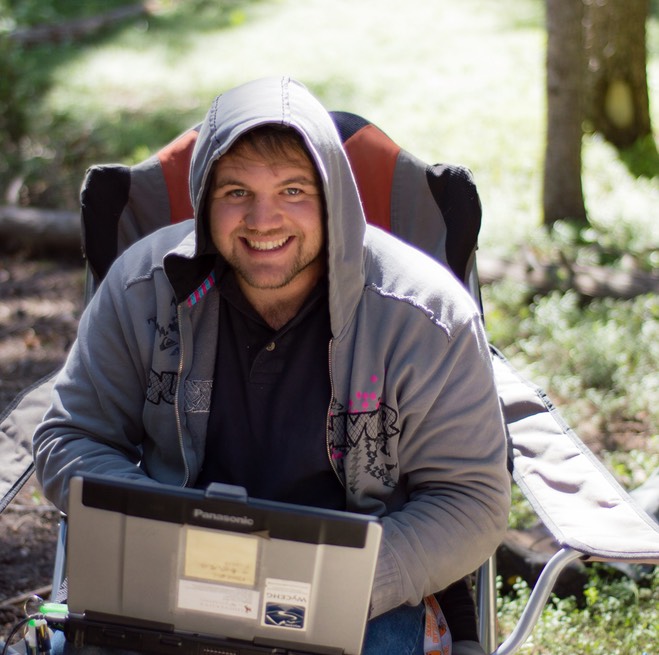
Once again it has been an extremely busy summer here at the University of Wyoming. I have had the privilege to be out collecting data at least once a week. I have been collecting data on various projects, but most of my time has been spent on my two focus sites, the Laramie Range and the Snowy Range. Aside from field work I have spent a lot of summer thinking about the chapters of my dissertation. I have decided I want to be an expert on using near-surface geophysical methods to understand groundwater flow in fractured alpine aquifers. As a result I will be using the Blair-Wallis data set, which is located at about 8,000 feet in the Laramie Range. The other site is going to be conducted in the No-Name watershed, which is located between 9100-9200 feet in the Snowy Range.
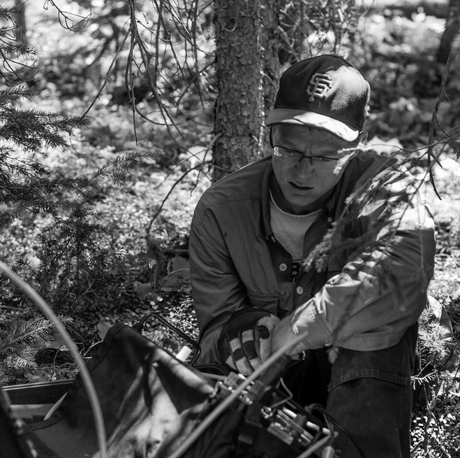
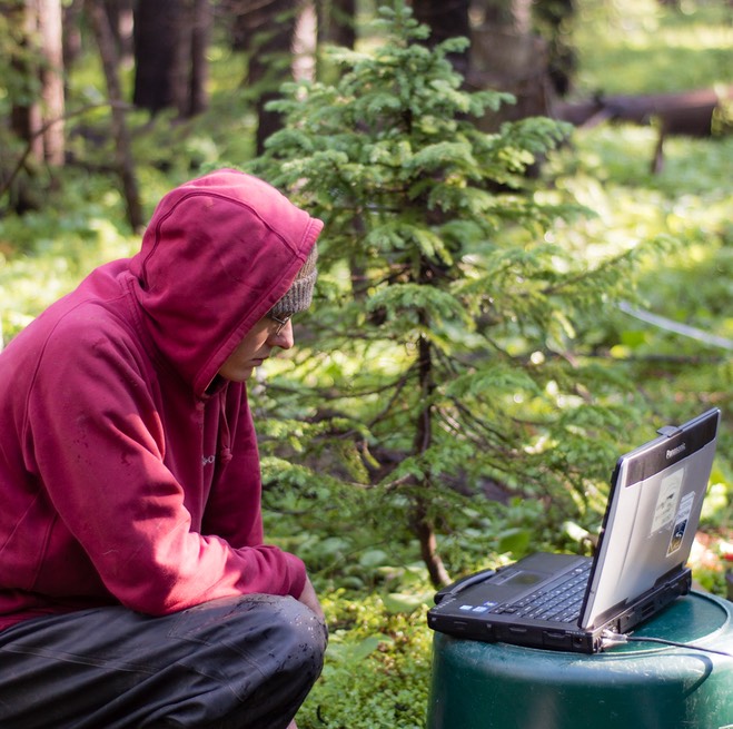
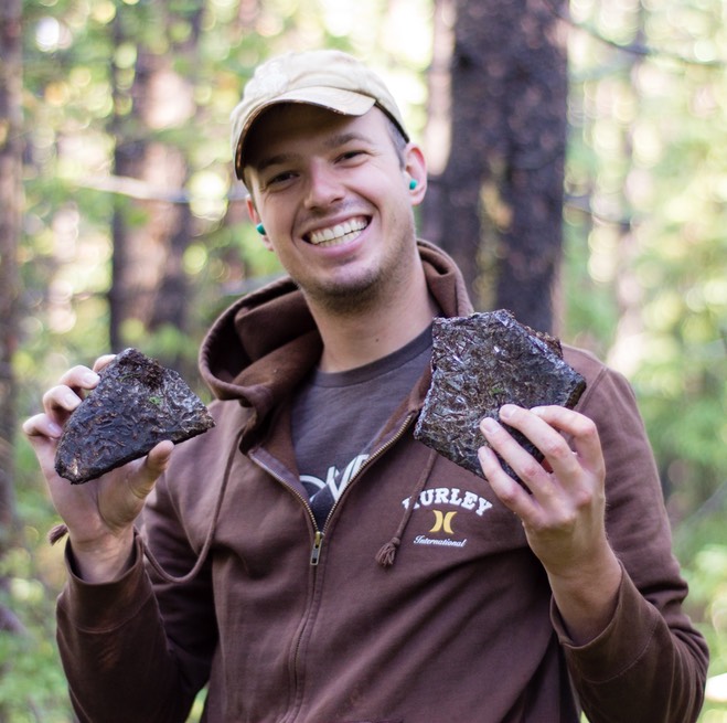
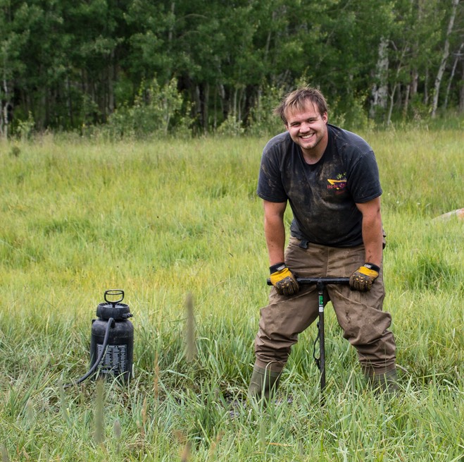
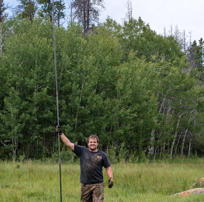
Most of the geophysical data in the Blair-Wallis catchment was collected last summer, so we are currently in the process of implementing more traditional hydrological measurements guided by the geophysics. This includes stream measurements and installing shallow piezometers to monitor hydraulic head. The Blair-Wallis catchment is located in Sherman batholith and groundwater flow is going to be focused within smaller fracture zones. Part of my summer has been spent learning to drill small diameter holes so that we can monitor the groundwater within this catchment. The geophysics can tell us about important hydrologic structures but it cannot tell which direction the water is flowing, thus we need the shallow boreholes. Drilling has been quite the experience; it is by far the dirtiest fieldwork that I have ever done and it is very labor intensive. Since we don’t have a lot of water or air pressure when we drill with our power drill of the materiel remains in the bottom of the borehole. In order to get it out we have to use a hand auger with a bucket on the end to scoop it up. Another surprising thing I learned about drilling and sampling the subsurface is that is difficult to determine exactly which depth your samples are coming from because after the sample is loosened by the drilled it just sinks to the bottom of the hole mixing with everything else. Suffice to say this little fieldwork project has really made realize why it’s so expensive to drill holes in the Earth!
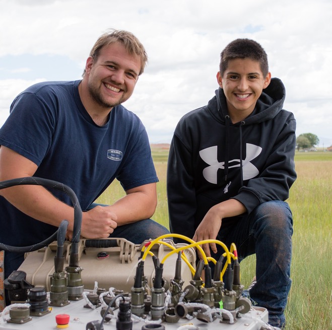
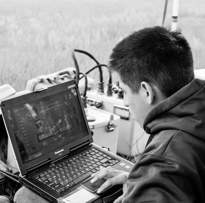
I spent a significant amount of my time mentoring a high school student in the Science Research Apprentice Program (SRAP). This was a very cool experience because I got to share my love and excitement of geophysics with an equally as eager and excited student. Although the program only six weeks the students were expected to complete a thorough research project and present it to their peers in the form of a paper, poster and a talk. Since I have a lot of projects I let the student pick his topic. He was very excited about the geophysical method known as Nuclear Magnetic Resonance (NMR). We made multiple field campaigns to collect his data. The data we collected was used to complete his project and will be used in my talk at SEG this coming October. Suffice to say it was a great experience for me and I think my student really enjoyed himself.
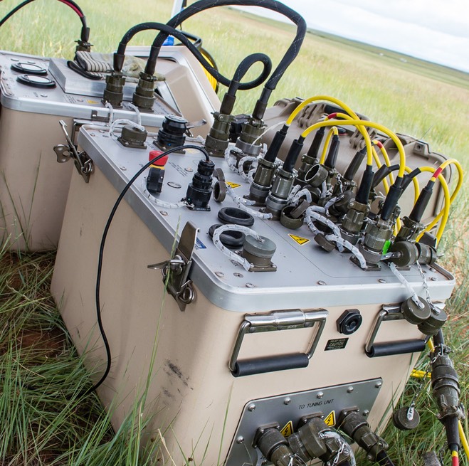
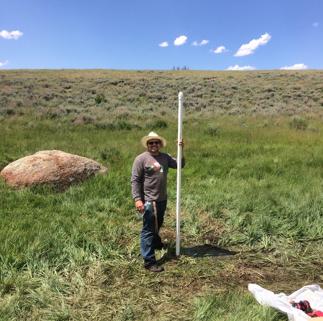
Finally I was head of geophysical collecting in the Snowy Range. We had set up the geophysical surveys to investigate the watershed boundaries. Since geophysics can provide a lot of spatial information and hopefully help answer some of the driving questions:
· Are the groundwater and surface watershed boundaries the same?
· Can the near-surface geophysics be used to quantify the amount of groundwater entering and leaving the drainage?
· Can we convert the near-surface geophysical parameters into hydrological parameters that can be used to generate a large hydrological model of the catchment?
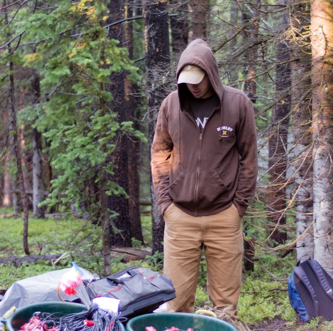
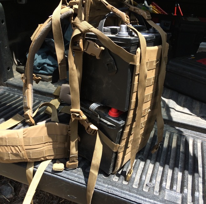
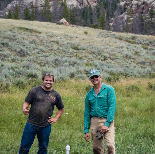
Working in the Snowy Range is challenging for a lot of reasons. The first one is the elevation. When you get up in the morning and start lugging heavy equipment at over 9,000 feet it really wears you out. This watershed is topographically challenging. Although the catchment only covers about a square kilometer the elevation changes are dramatic! We encountered slope gradients that were as high as 30 degrees. Try hauling a couple of car batteries, sledgehammers and large steel plates up a 30 degree slope. The Snowy Rang is difficult to work in because of all the tree fall. Due to the large beetle epidemic occurring in the Rocky Mountains there are a lot of dead lodge pole pines. This makes placing geophones and electrodes into the ground very challenging. In order to place straight lines we had to rely on the GPS because visibility is less than 50 feet. We were successful in collecting at least 6 line kilometers of data in these difficult conditions thanks to the geophysical data collection team (GDAT). This group of undergraduates is some of the hardest working individuals I have met. So big thanks to them and a successful field campaign in this challenging environment.