Summer of 2015 Roadmap

Regional map showing the loops that I traveled to collect geophysical data in the summer of 2015.
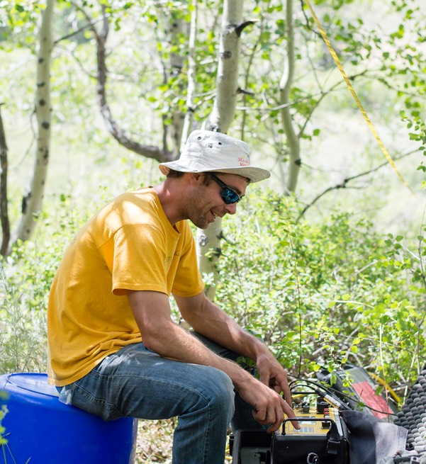
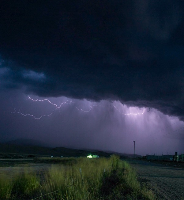
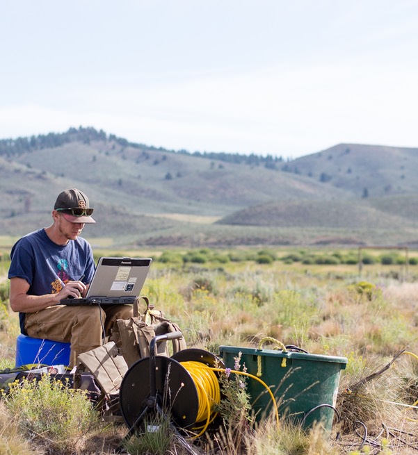
The summer of 2015 was an extremely busy one! I was lucky enough to travel the country to four different research sites. Although the data was not for my personal research, it was fun to collect and I met some great people along the way. The first trip was a dual trip to the Reynolds Creek Critical Zone Observatory (RCCZO) and a site in southeastern Oregon. We went to collect seismic refraciton, electrical resistivity, magnetics and electromagnetic induction (EMI) data. The goal of our trips was to provide images the subsurface to help scientist working at each site better understand the hydrology and ecology. At RCCZO we camped out in the valley at a Quonset hut. This served as a great base to charge all of the equipment, process all of the data and plan out our next operations. During the week we even experienced a summer thunderstorm and I captured a picture of it!
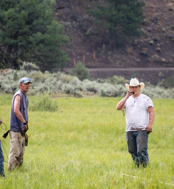
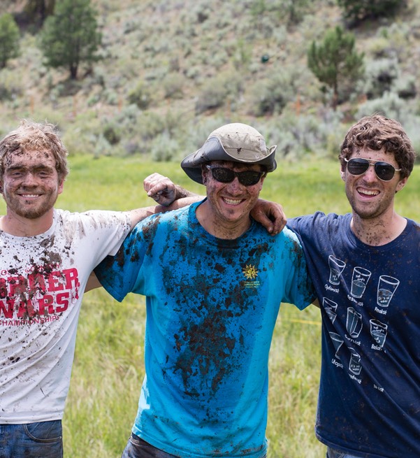
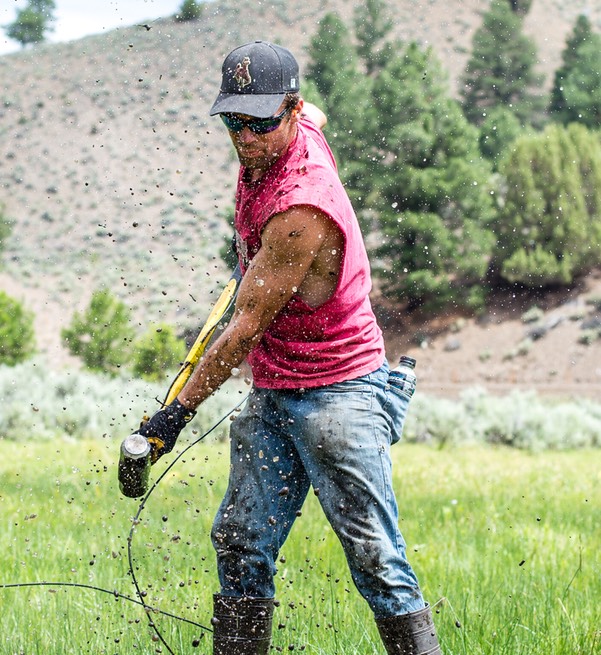
After our 5 days at RCCZO we moved on to a site located on Silvies Rance in southeastern Oregon. We were assiting a fellow scientest to help improve the influence that beavers have on the shape of the landscape. We got to stay in a private ranch house, which had access to a fire pit, warm running water, BBQ grill and a huge referigrator—I would not call this a campout, it was luxury. At Silvies, we focused our efforts on valley bottoms trying to determine the alluvium thickness. The crew had a lot of fun shootin seismic refraction in the soggy valley bottoms. Look at the muddy faces and the splatter from the hammer. Some of the data was presented by Caroline Nash from Oregon State university. Overall, the data was good, the weathere was great and field site was awesome!
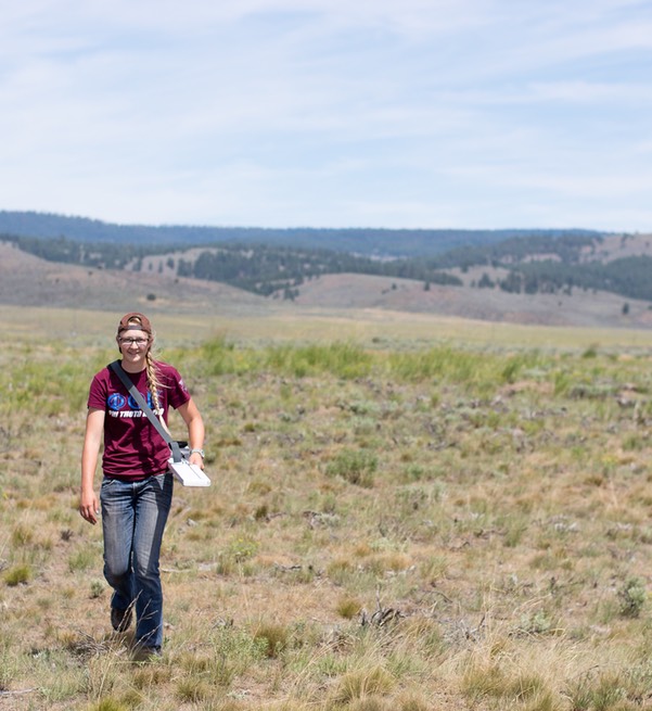
The next big trip took use on a huge loop through the southwestern US. We started by traveling to the Southern Sierra Critical Zone Observatory (SSCZO). Due to the severe drought conditions we were only able to collect seismic refraction data. Because the soil was so dry the contact resistance on the DC resistivity system was to high to get any current in the ground. We were also plagued by nearby fires so the smoke was pretty bad. Otherwise we traveled throughout the SSCZO collecting GPR and seismic refraction data. We were very interested in regolith thickness and how it varies with slope, aspect and lithology.
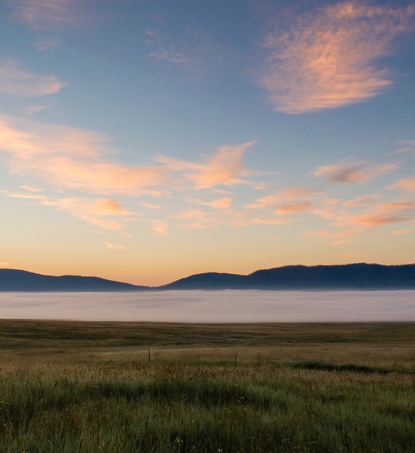
The last stop on the summer trip was the Jemez Critical Zone Observatory (JCZO). This CZO is one part of the Catalina-Jemez CZO and the site was located in the Valles caldera. We got special permissions to stay in the caldera and collect data. Hands down, this had to be the most beautiful site I have worked. Every morning we woke up to a view of the caldera and it was covered in fog. From my window you could watch the fog flow like water in a bowl. We were in Jemez to help the scientist improve the understanding of the hydrology and ecology and most importantly use the geophysics data to site some locations for boreholes.